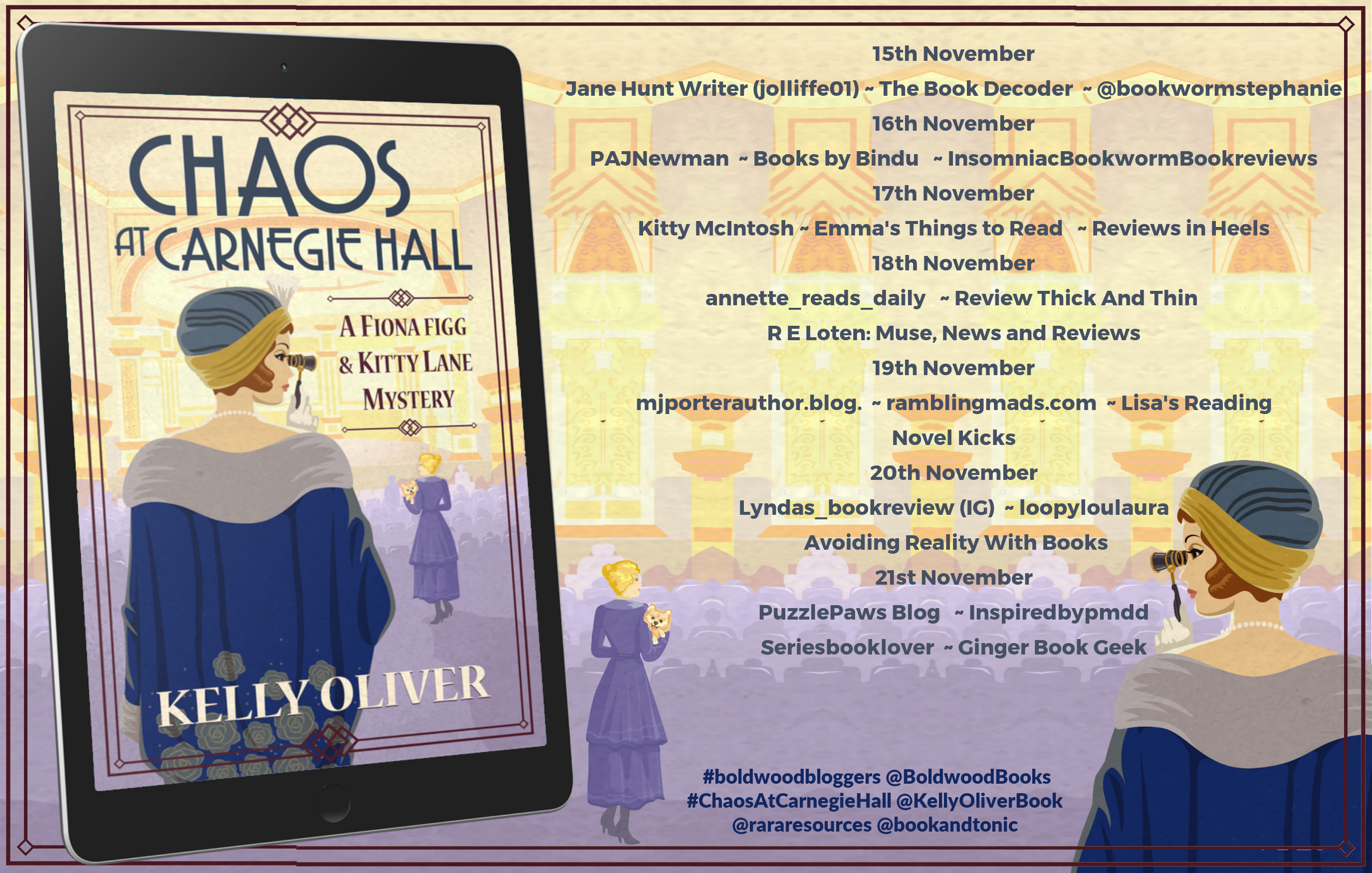
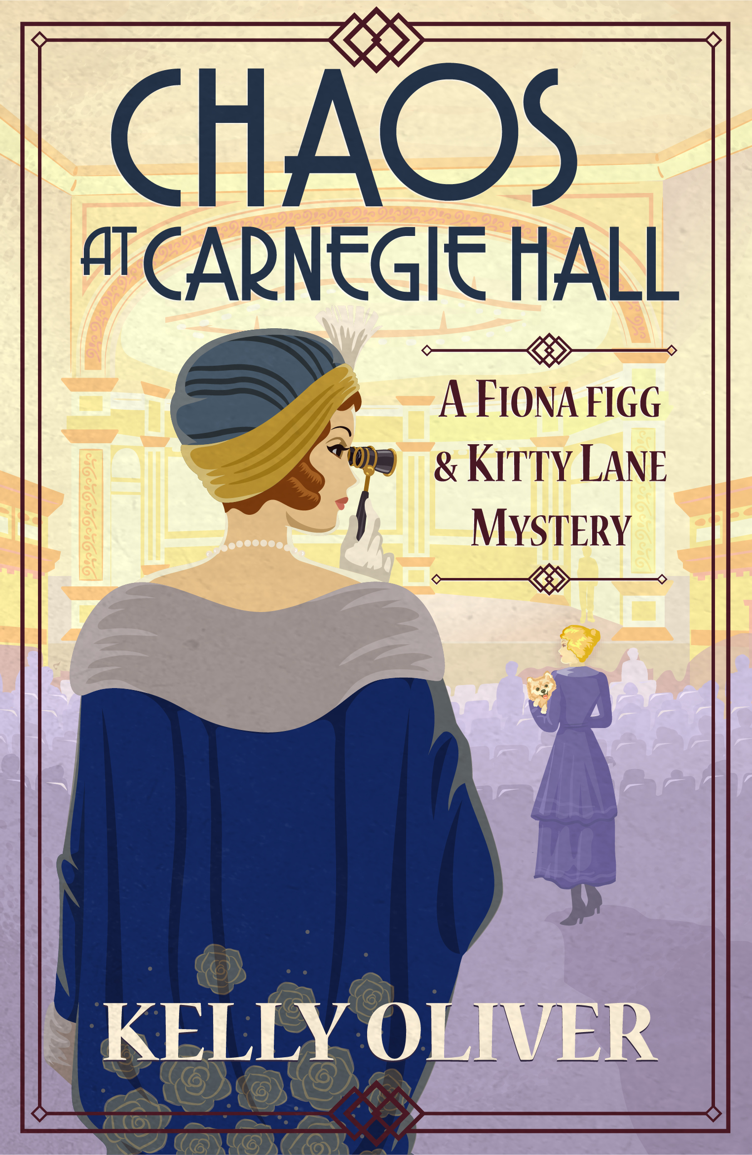
Here’s the blurb:
Agatha Christie meets Downton Abbey in the Fiona Figg and Kitty Lane Mystery series opener.
Can Fiona catch a killer and find a decent cup of tea before her mustache wax melts?
1917. New York.
Notorious spy, Fredrick Fredricks, has invited Fiona to Carnegie Hall to hear a famous soprano. It’s an opportunity the War Office can’t turn down. Fiona and Clifford are soon on their way, but not before Fiona is saddled with chaperon duties for Captain Hall’s niece. Is Fiona a spy or a glorified babysitter?
From the minute Fiona meets the soprano aboard the RMS Adriatic it’s treble on the high C’s. Fiona sees something—or someone—thrown overboard, and then she overhears a chemist plotting in German with one of her own countrymen!
And the trouble doesn’t stop when they disembark. Soon Fiona is doing time with a group of suffragettes and investigating America’s most impressive inventor Thomas Edison.
When her number one suspect turns up dead at the opera and Fredrick Fredricks is caught red-handed, it looks like it’s finally curtains for the notorious spy.
But all the evidence points to his innocence. Will Fiona change her tune and clear her nemesis’ name? Or will she do her duty? And just what is she going to do with the pesky Kitty Lane? Not to mention swoon-worthy Archie Somersby . . .
If Fiona’s going to come out on top, she’s going to have to make the most difficult decision of her life: the choice between her head and her heart.
Purchase Link – https://amzn.to/3dMIUoT
My Review
Chaos at Carnegie Hall is a cosy historical mystery set in London, onboard a transatlantic ship during its crossing and also in New York in November 1917. We’re introduced to Fiona Figg, an enterprising young woman, a spy if you would, who is happy to don male costumes to get the answers she seeks.
I did find the beginning of the book a little confusing, but then I discovered why, for Fiona Figg isn’t a new literary creation, but this is her in a new series, complete with references to previous exploits. Once I realised this, I was flying. The backstory isn’t overly relevant, and it adds a wonderful layer of depth to the character. Fiona Figg is not new to this jig, and she knows what she’s about, despite all the men in her life trying to make it more difficult for her.
This story is bursting with historical details – the Suffragettes, events at Carnegie Hall, ‘real’ historical characters, and of course, yellow cabs – which our fine main character informs us makes it much easier to spot a cab in the snowy November conditions she’s enduring. I really enjoyed the way the story is woven around events that actually happened.
The mystery builds really well, and the attendant sidekicks of Clifford, Kitty and, of course, Poppy, the dog, really add to the ongoing mystery.
A thoroughly enjoyable historical mystery recommended for fans of the genre and with just a smidge more historical detail than some other cosy mysteries, which makes it all the more appealing to me.
Meet the Author
Kelly Oliver is the award-winning, bestselling author of three mysteries series: The Jessica James Mysteries, The Pet Detective Mysteries, and the historical cozies The Fiona Figg Mysteries, set in WW1. She is also the Distinguished Professor of Philosophy at Vanderbilt University and lives in Nashville, Tennessee. She is bringing new titles in the Fiona Figg series to Boldwood, the first of which, Chaos in Carnegie Hall, will be published in November 2022.
Connect with Kelly
Facebook: https://www.facebook.com/kellyoliverauthor
Twitter: https://twitter.com/kellyoliverbook
Bookbub profile: https://www.bookbub.com/authors/kelly-oliver