


Mapping Saxon Northampton
Much of the action in a few of The Last King/The Mercian Ninth Century series takes place in my recreated Northampton.
‘There’s a large hall, visible above another row of low-roofed buildings, and the sides of the ancient rampart can be glimpsed behind the buildings, but not so close that I feel confined.
It seems the Raiders, when they came here twenty-five years ago, planned on keeping a vast area safe behind the rampart. The space is at least double that at Repton, if not treble, and a feeling of unease flickers down my back.
To the front of Northampton, out of sight, the rampart now runs to the water’s edge, and again, a ditch is once more deep enough to prevent easy access. If people want to take a ship along the Nene to reach Northampton, they’ll find no easy places to climb ashore. Even the wooden bridge has been reinforced. Ealdorman Ælhun’s men will guard it from the side of Northampton, a thick gateway nestling there now, only to be opened when sure of the person asking for admittance. Along the length of the bridge, a few surprises have been placed that few know.’
So, how did I create or recreate this image of Northampton? As so often the case, I turned to antique maps. And here, I was certainly helped by the work of John Speed, a cartographer working in the early 1600s. (The only earlier maps are by Saxton).
As you can see below, Speed’s maps, this one is of Northamptonshire, are highly decorative and a bit of a joy to explore. While we might turn to Google Maps these days, I find it easier to look at the older maps to see what was included. It helps me to try and get the ‘landscape’ of the era. (I also adopted the same approach when writing my twentieth-century mysteries – and there, it’s easier as you can still get your hands on maps from that era – via eBay or second-hand bookshops).


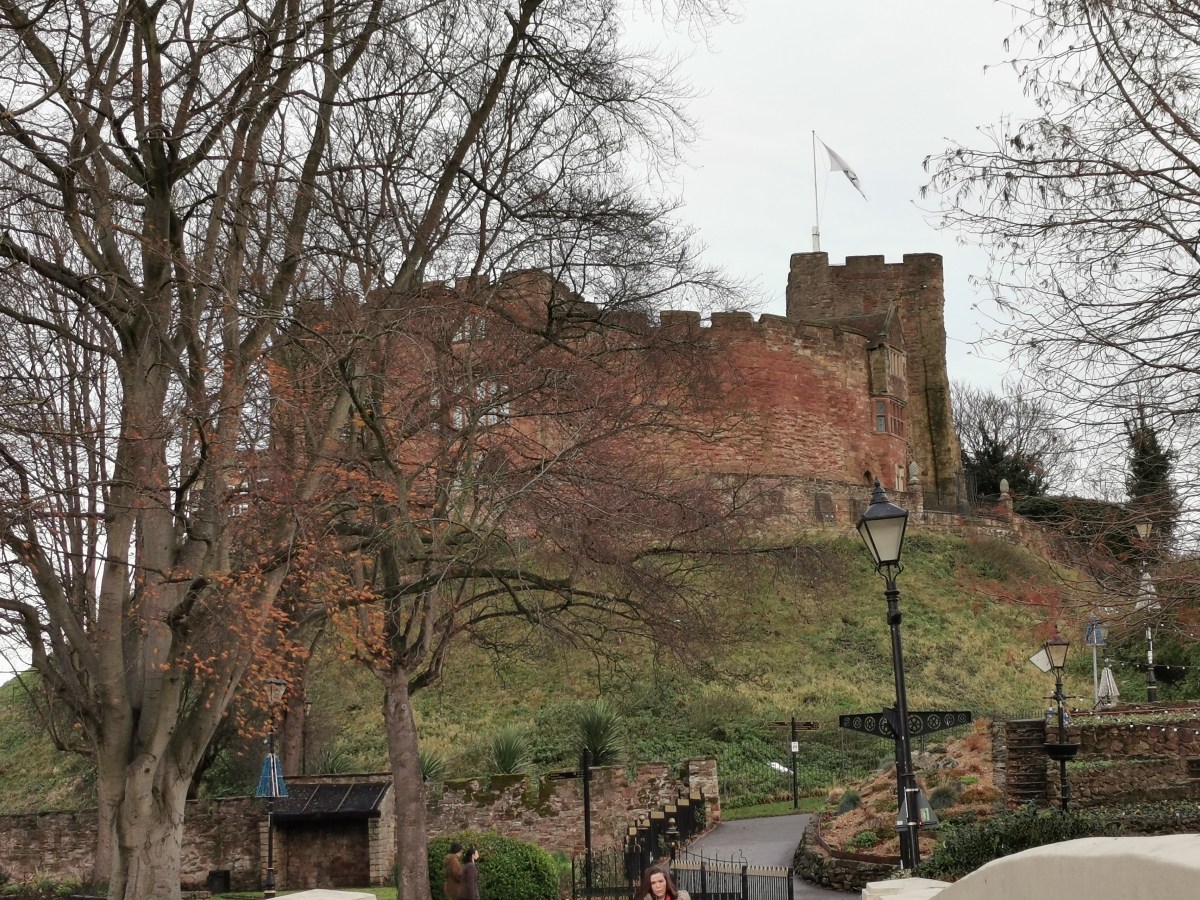
Speed also added detailed maps of two of the county towns to his county maps. So, above is Northampton. Admittedly, I did need to pretend the later castle wasn’t there. But, it certainly provides an idea of how the settlement might have appeared over seven hundred years earlier, although I think, from memory, that I had to use it turned on its side.
If you want to discover more about the history of Northampton then do check out the details here. https://www.british-history.ac.uk/rchme/northants/vol5/pp27-71
And, I’ve just found this fabulous Zoomable map of Great Britain, by Speed, at Cambridge University. https://cudl.lib.cam.ac.uk/view/PR-ATLAS-00002-00061-00001/1

Posts


Discover more from MJ Porter
Subscribe to get the latest posts sent to your email.
