
In Eagle of Mercia, young Icel and his allies are busily guarding the River Thames against a potential Viking raider attack. The Viking raiders certainly made use of the many rivers running through England at the time (and throughout the British Isles), but the river was also significant as a very definitive and solid boundary between the Saxon kingdoms of Wessex and Mercia, which to the west, where the River Thames doesn’t flow, was continued by the earthworks known as the Wansdyke.
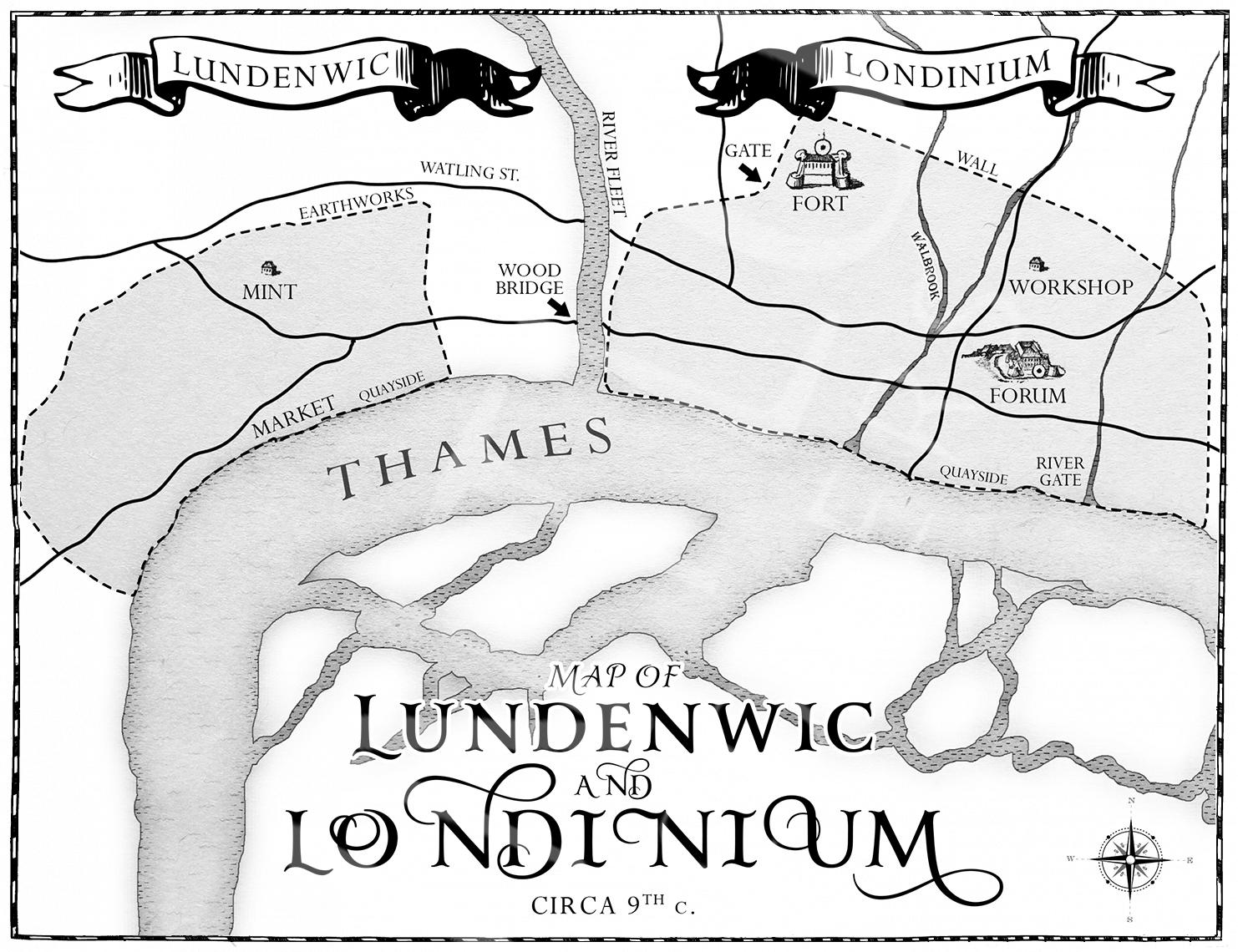
London, now the capital of the United Kingdom, wasn’t always as important as we might assume, and indeed, it wasn’t ever the capital of Wessex or Mercia. These two kingdoms fought most fiercely over the settlement. It wasn’t even overly important to the Romans, either. And this is why I’ve perhaps been remiss in not truly considering its significance. As rivers have changed their course over the years, so has the River Thames. And what’s most fascinating about the River Thames is that, seemingly for long periods during the Saxon era, it wasn’t navigable, as we might expect it to have been.

‘During this period, as perhaps as other times, there may well have been a division between use of the Thames in its today reach and use of it above the tidal head. Paleoenvironmental evidence suggests that a relative drop in river levels during the Roman period meant that the tidal head was perhaps as low as Londinium itself, but that it (and thereby the range of easy navigability) generally moved upstream during the Anglo-Saxon period. This trend was not, however, uniform, and there were also brief periods (such as the late tenth to eleventh centuries) when the tidal reach shifted back downstream again.’ p. 271
It seems then, that when considering London, or Londinium/Lundenwic/Londonia, we also need to be mindful of the era in the Saxon period that we’re writing about. For the first Viking age,
‘A combination of the seasonal (and presumably climatic) unreliability of riverine travel and the need on many occasions to travel upstream cannot have made it easy for the Vikings to use the Thames for shock offensives… and there is no clear example of a Viking force travelling by water up the Thames further than Fulham.’ p.278
Clues to how passable the River Thames might have been can be traced.
‘Without the construction of bridges, the river would have been impassable except by ferry, from its estuary as far as the lowest fording point, perhaps as low as Halliford near Shepperton, and between the various fording points. Even where the middle and upper stretches could be forded, such crossings were not guaranteed to be easy. Lechlade and Cricklade, two potentially treacherous upper Thames crossings, severely affected by flooding in winter were named Old English (ge)lad ‘difficult river crossing.’ p.279
As with all things, we should be wary of assuming that current conditions would have been prevalent in the past. The River Thames certainly falls into that category. So while, yes, it was certainly a decisive boundary between the Saxon kingdoms of Wessex and Mercia, on occasion, it wouldn’t have been as decisive as at others. This, I find fascinating, and just another of those ‘facts’ travellers to the Saxon era should be wary about. While we know (hopefully not a spoiler) that London was attacked in the 840s and 850s, prior to this, it might well have been impossible for the Viking raiders to attack in the way they were used to. This, perhaps, accounts for why they chose more coastal locations, such as the Isle of Sh.
(Quotes taken from Beyond the Burghal Hidage by Baker and Brookes)
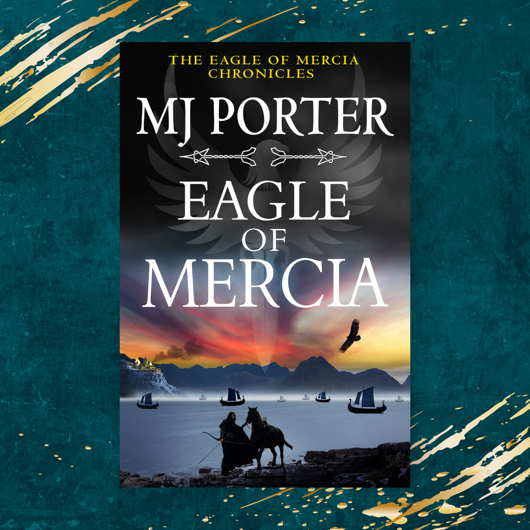
Read Eagle of Mercia now.
https://books2read.com/EagleofMercia